To help reduce reliance on cars in central London, Footways London have created digital and printed maps to help connect locations such as train stations and green spaces with appealing and accessible streets.
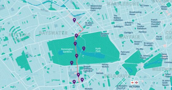
The new Footways London map highlights walking routes people can follow to move around London on foot with some lovely walks through Paddington along the canal and through to Hyde Park. Check out this walk from Paddington to Exhibition Road.
The map diverts people away from busy main roads and instead focuses on routes with lower levels of pollution, making it a more enjoyable, efficient and healthy way of moving around the city.
Cllr Paul Dimoldenberg, Cabinet Member for City Management and Air Quality at Westminster City Council said:
“Air pollution impacts all of us and we are committed to improving air quality to create a safer and more pleasant environment for residents and visitors.
We want to encourage residents and visitors to participate in active travel by walking and cycling more.”
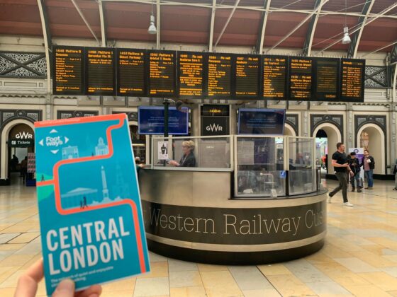
Pick up a free copy at Paddington Station information desk or purchase a copy for £5 online or in-store at Stanfords, Covent Garden. Stanfords is also selling flat copies to put on your wall.
For more information click here: https://footways.london/